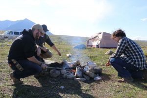
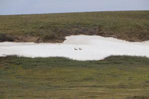
After packing camp, we took a walk toward Galbraith Lake. We spent time on the snow and had a great time. Galbraith Lake campground is another wonderful place to spend time. We spent time with one gentleman that works nearby at pump station number 4 and spends much of his time in the Galbraith Lake area. He was very enthusiastic and passionate about spending time here (at Galbraith Lake).
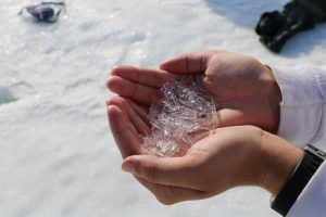
Ice crystals
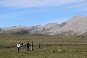
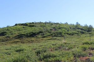
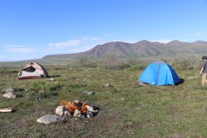
Hike at Galbraith Lake Campground
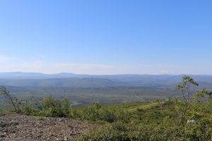
Today’s trip had fewer stops. The region north of Galbraith Lake is arctic tundra and has very few stops. There was several places where the road was under construction, and we were required to wait on the pilot car. This could take up to 20 minutes of waiting. During this time, there may only be two vehicles (our two vehicles) in line. Once there were four vehicles after about 15 minutes of waiting. That gives some sense of the isolation of our trip. Although we only traveled about 140 miles, it took much of the day.
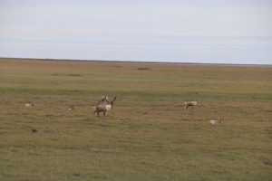
We saw our first Musk Ox, and then a herd of musk ox!
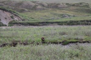
Musk Ox
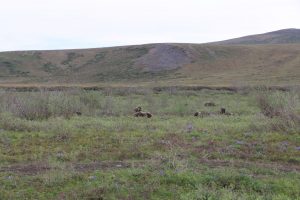
Musk Ox herd
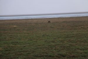
We stopped for lunch out of the coolers at Happy Valley. There is a busy ‘air strip’ during the summer, but no planes landed while we were eating lunch.
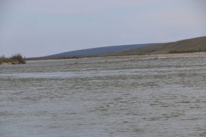
Sagavanirktok River (“Sag River”) at Happy Valley
After lunch, we saw the first caribou! And later we saw more caribou closer.
Caribou
Caribou
And just before Deadhorse, we saw a grizzly bear (thanks Casey!). It was raining on this stretch of road, but the bear was fairly close — for wildlife. That really is a bear — and it looked much better through binoculars.
Grizzly Bear
We arrived in Deadhorse about 4:00 pm. We checked in to the Prudhoe Bay hotel and had time for a shower before dinner. We had been about three days without showers, and had been eating out of the coolers (bagels, sandwiches, and cookouts for dinner) since we left Fairbanks. We were all ready for a good meal.
The hotels in Deadhorse are simple. Most operate similar to the dorms — two single beds in a room, with a large bathroom down the hall. Our hotel had four “halls”: three were designated for males, and one was for females. One great feature is that the hotel has ‘free’ food available for guests 24 hours each day. The meals are served at designated times, but at any other time, one can go in and get sandwiches, desserts, and other items. The students enjoyed this particular perk of the stay.

Deadhorse is an industrial town in the Alaska tundra of Alaska. It was built to support the workers at the Prudhoe Bay oil fields. All of the structures are prefabricated, built from materials trucked up the Dalton Highway or brought by barge. Deadhorse has a very industrial feel. There is only one general store in the whole town. There are many international companies that help support the oil operations.
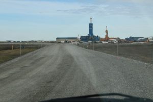
Prudhoe Bay, near the Prudhoe Bay Hotel
There are about 2,000 people living in Deadhorse, but only a few dozen permanent residents. The other people are oil workers. A common work schedule is to work about 2 weeks ( or 4 weeks) in Prudhoe Bay and then go back home for 2 weeks. During the time in Prudhoe Bay, they work 7 days each week, generally 12 hour days.